
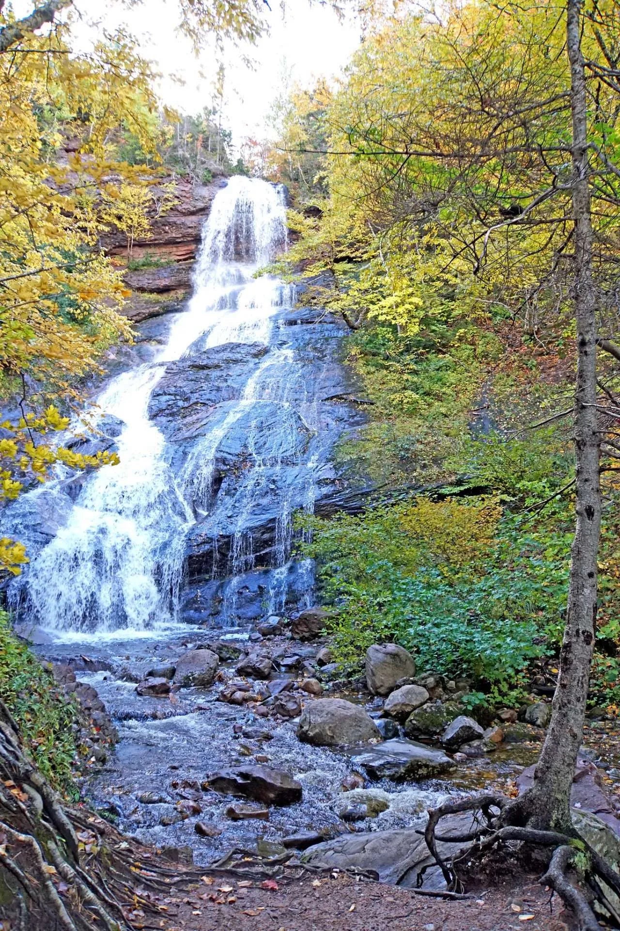
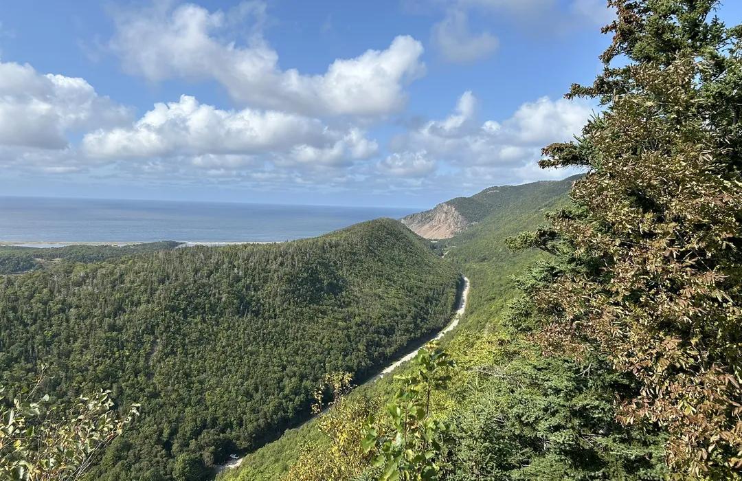
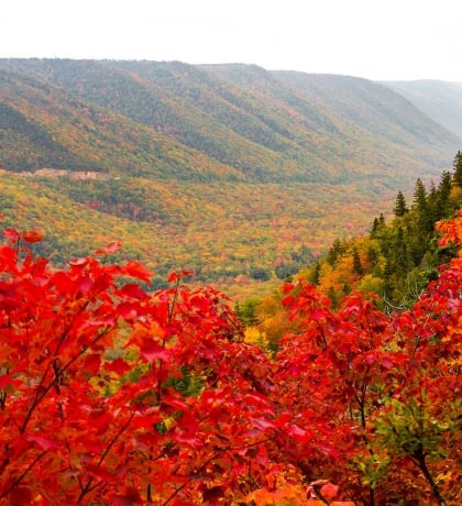
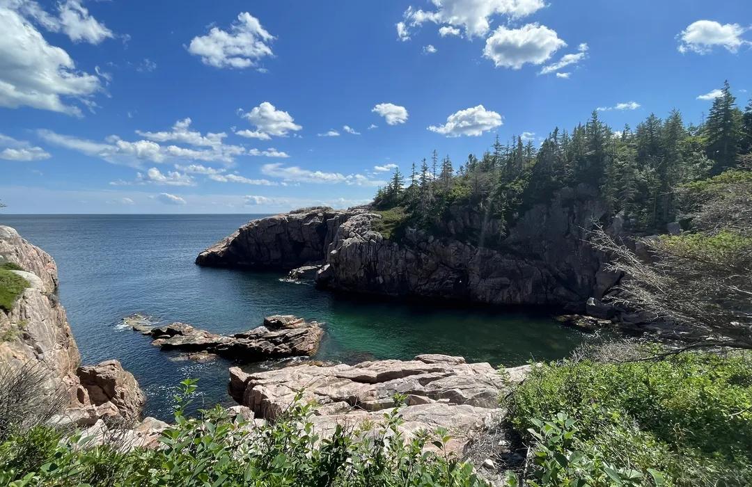
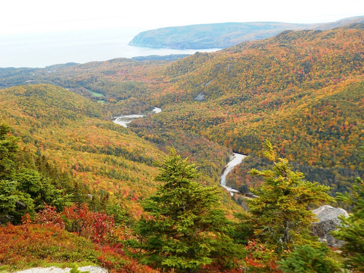
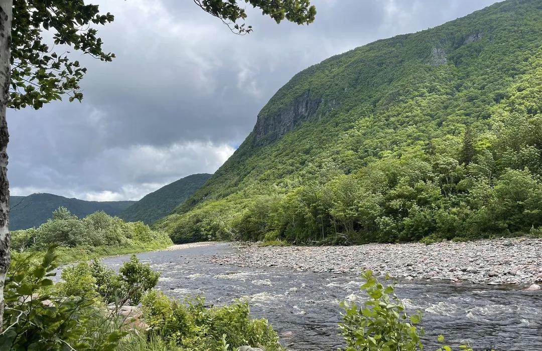
TRAILS & WATERFALLS
Cape Breton Life was created to bring people together. Through comfortable, durable apparel and everyday accessories, we celebrate community, tradition, and the lifestyle that makes the island unlike anywhere else.

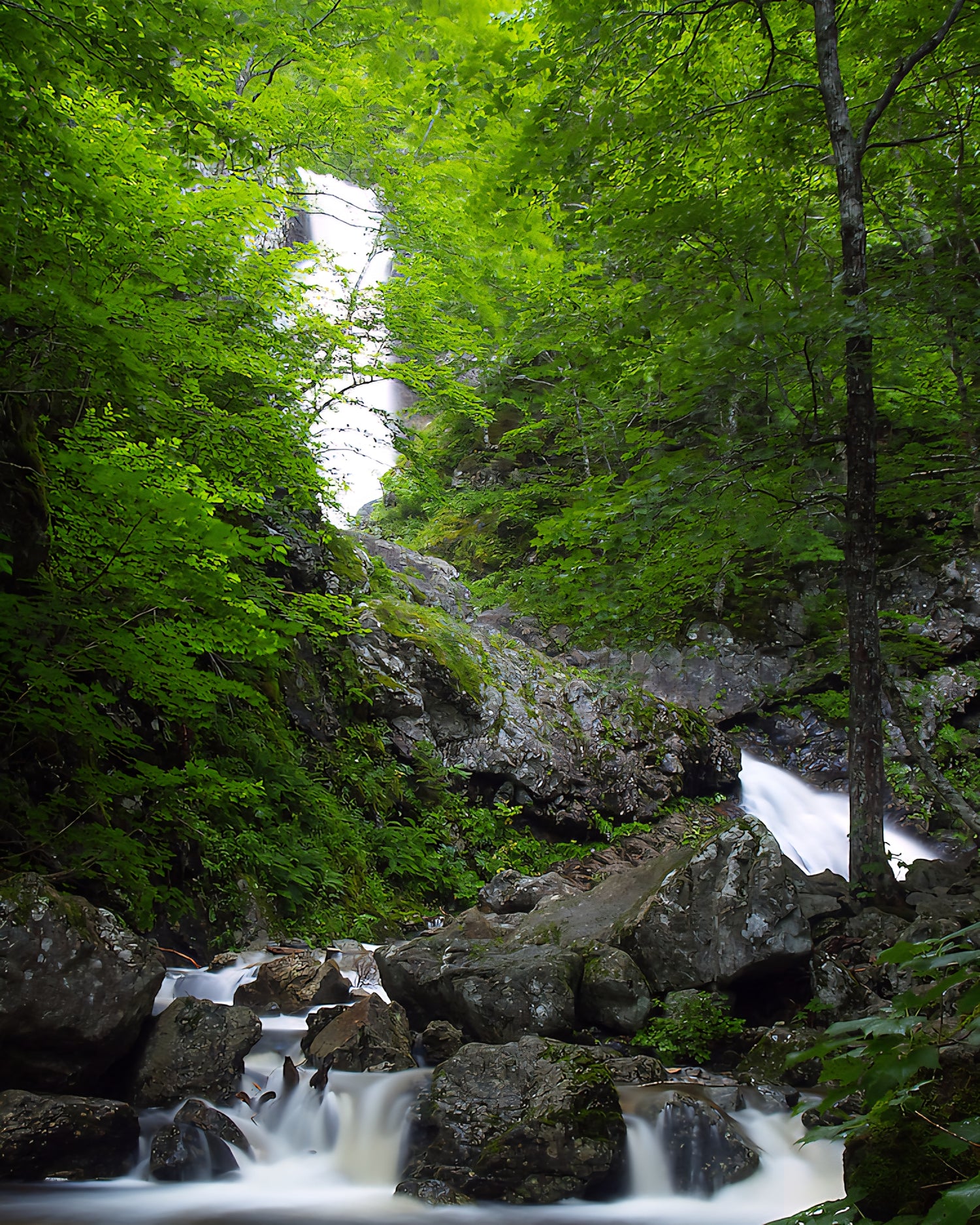
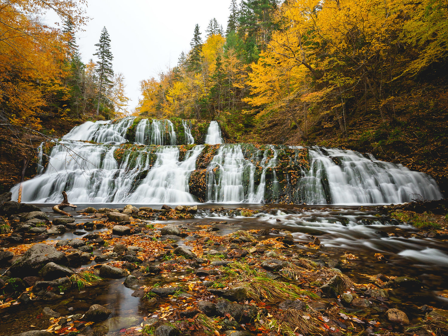
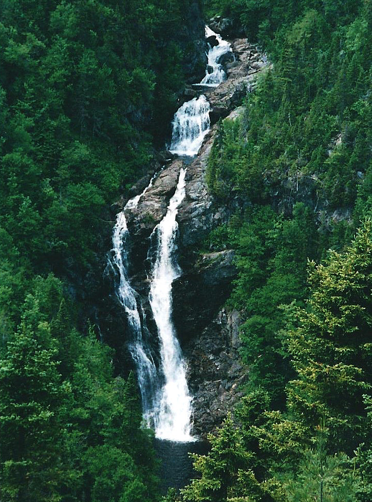
Uisge Bàn Falls Provincial Park
Height: 15m
Distance (one way): 1.3km
Difficulty: Moderate
Elevation: 200 m
Hiking Time: 3 hours both ways
Cellphone Coverage: Yes
Coordinates:
Waterfall:46°12′10.99″N 60°46′41.84″W
715 N Branch Rd, Baddeck, NS B0E 1B0
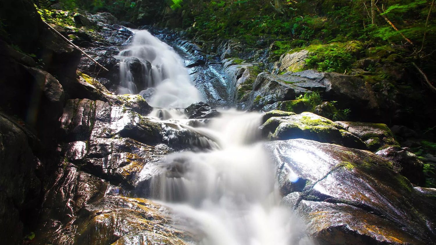
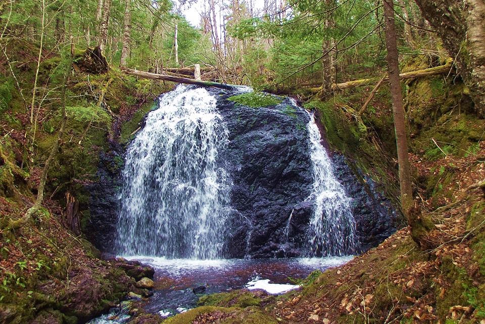
Second Branch Humes River Falls, Wagmatcook First Nation
Height: 15m
Distance (one way): 4.8km
Difficulty: Moderate to difficult
Elevation: 300 m
Hiking Time: 3 hours both ways
Cellphone Coverage: Yes
Coordinates:
Waterfall: 46º03’49.5”N, 60º58’35.8”W
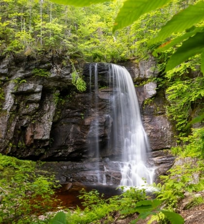
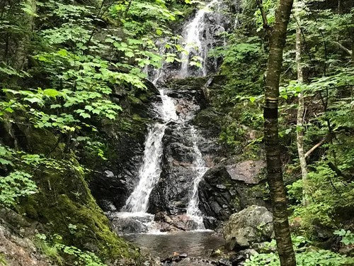
MacIntosh Brook Falls Trail
Height: 15m
Distance (one way): 1.7km
Difficulty: Easy
Elevation: 65 m
Hiking Time: 40 min one way
Cellphone Coverage: No
Coordinates:
Waterfall:Lat: 46.811806 Long: -60.767669
24150 Cabot Trail, Pleasant Bay, NS B0E 2P0
Lower North River Falls
Height: 5m
Distance (one way): 1km
Difficulty: Easy
Elevation: 27 m
Hiking Time: 1 hour one way
Cellphone Coverage: No
Coordinates:
Waterfall:46°18’59.9″N 60°40’15.5″W
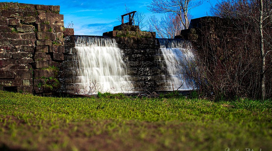
Greenlink Rotary Trail Waterfall
Height: 4m
Distance (one way): 500m
Difficulty: Easy
Elevation: 10 m
Hiking Time: 15 min one way
Cellphone Coverage: Yes
Coordinates:
Waterfall:46º07’07.9”N, 60º10’55.5”W
Grand River Falls
Height: 11m
Distance (one way): 1.3 km
Difficulty: Easy
Elevation: 50 m
Hiking Time: 30 min one way
Cellphone Coverage: No
Coordinates:
Waterfall:45º42’36.3”N, 60º37’32.5”W
Gairloch Mountain Falls
Height: 15m
Distance (one way): 1 km
Difficulty: Moderate
Elevation: 120 m
Hiking Time: 1 hour one way
Cellphone Coverage: Low signal
Coordinates:
Waterfall:46º7’20.13”N, 60º58’39.16”W
Embree's Brook Falls
Height: 6m
Distance (one way): 1.7 km
Difficulty: Easy
Elevation: 59 m
Hiking Time: 1.5 hour one way
Cellphone Coverage: Yes
Coordinates:
Waterfall:45º38’17.6”N, 61º21’30.7”W
Egypt Falls
Height: 18m
Distance (one way): 900m
Difficulty: Moderate
Elevation: 110m
Hiking Time: 20 min one way
Cellphone Coverage: Yes
Coordinates:
Waterfall:46º11’37.07”N, 61º7’35.76”W
Devil's Hill Falls
Height: 6m
Distance (one way): 1.3 km
Difficulty: Easy
Elevation: 56m
Hiking Time: 40 min one way
Cellphone Coverage: Yes
Coordinates:
Waterfall:45º58’41.0”N, 60º01’44.7”W
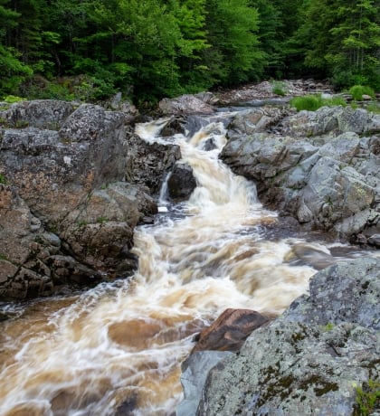
Corney Brook Falls
Height: 9m
Distance (both ways): 6.6 km
Difficulty: Easy
Elevation: 190
Hiking Time: 1 hour 49 min both ways
Cellphone Coverage: Yes
Coordinates:
Waterfall:Lat: 46.725580 Long: -60.924757
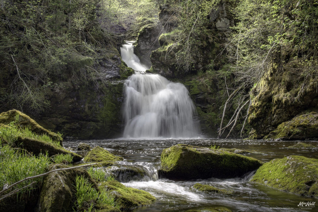
Beulach Ban Falls
Height: 21m
Distance (both ways): 134m
Difficulty: Easy
Elevation: 12m
Hiking Time: 5 min one way
Cellphone Coverage: No
Coordinates:
Waterfall:Long: 46º48’50.8”N, Lat: 60º37’30.9”W
North River Falls
Height: 30m
Distance (both ways): 8.1km
Difficulty: Difficult
Elevation: 350m
Hiking Time: 6 hours both ways
Cellphone Coverage: No
Coordinates:
Waterfall: Long: 46º2’13.76”N, Lat: 60º41’58.86”W
Acadian Trail
Distance (both ways): 8.4km
Difficulty: Moderate
Elevation: 365
Hiking Time: 3 hours both ways
Cellphone Coverage: Yes
Coordinates:
Trail: Lat: 46.646863 Long: -60.950197 or Lat: 46.645107 Long: -60.947226
Aspy Trail
Distance (both ways): 9.6km
Difficulty: Difficult
Elevation: 450m
Hiking Time: 4 hours both ways
Cellphone Coverage: Yes
Coordinates:
Trail:Lat: 46.814041 Long: -60.626273
Jack Pine Trail
Distance (both ways): 2.3km
Difficulty: Easy
Elevation: 55m
Hiking Time: 1 hour both ways
Cellphone Coverage: Yes
Coordinates:
Trail: Lat: 46.778569 Long: -60.332248
Franey Trail
Distance (both ways): 7.4km
Difficulty: Difficult
Elevation: 430m
Hiking Time: 2.5 hour both ways
Cellphone Coverage: Yes
Coordinates:
Trail: Lat: 46.660766, Long: -60.422683
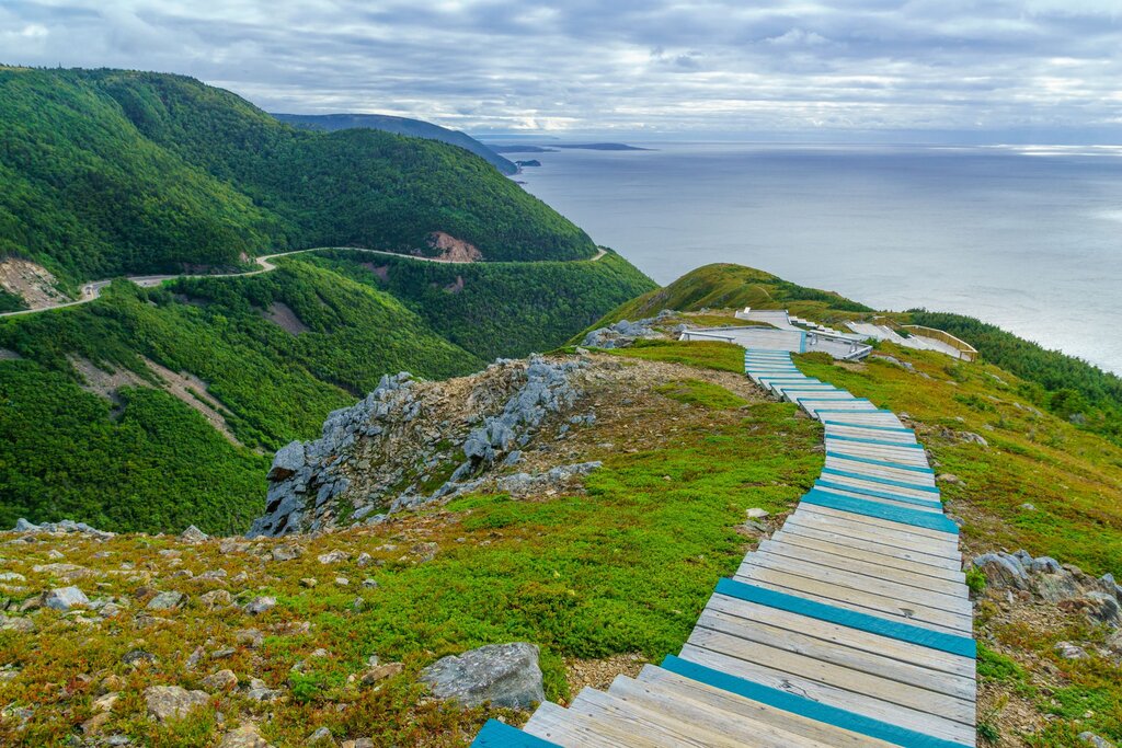
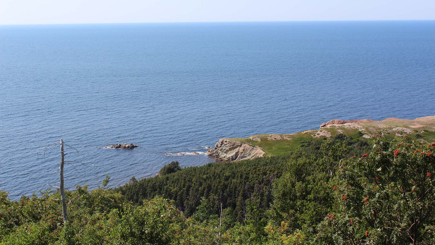
Skyline Trail
Distance (both ways): 8.2km
Difficulty: Easy
Elevation: 405m
Hiking Time: 2.5 hour both ways
Cellphone Coverage: Yes
Coordinates:
Trail: Lat.: 46.737691 Long.: -60.880377
Salmon Pools Trail
Distance (both ways): 9.5km
Difficulty: Moderate
Elevation: 100m
Hiking Time: 3.5 hour both ways
Cellphone Coverage: Yes
Coordinates:
Trail:Lat: 46.643298 Long: -60.946835
Le Chemin du Buttereau Trail
Distance (both ways): 4.6km
Difficulty: Easy
Elevation: 65m
Hiking Time: 1.5 hour both ways
Cellphone Coverage: Yes
Coordinates:
Trail:Lat: 46.655560 Long: -60.948357
Le vieux chemin du Cap-RougeLe vieux chemin du Cap-Rouge Trail
Distance (both ways): 9km
Difficulty: Easy
Elevation: 110m
Hiking Time: 2.5 hour both ways
Cellphone Coverage: Yes
Coordinates:
Trail:Lat: 46.714762 Long: -60.933245
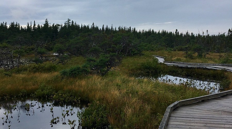
Bog Trail
Distance (both ways): .5km
Difficulty: Easy
Elevation: 410m
Hiking Time: 15 min both ways
Cellphone Coverage: Yes
Coordinates:
Trail:Lat: 46.742037 Long: -60.827493
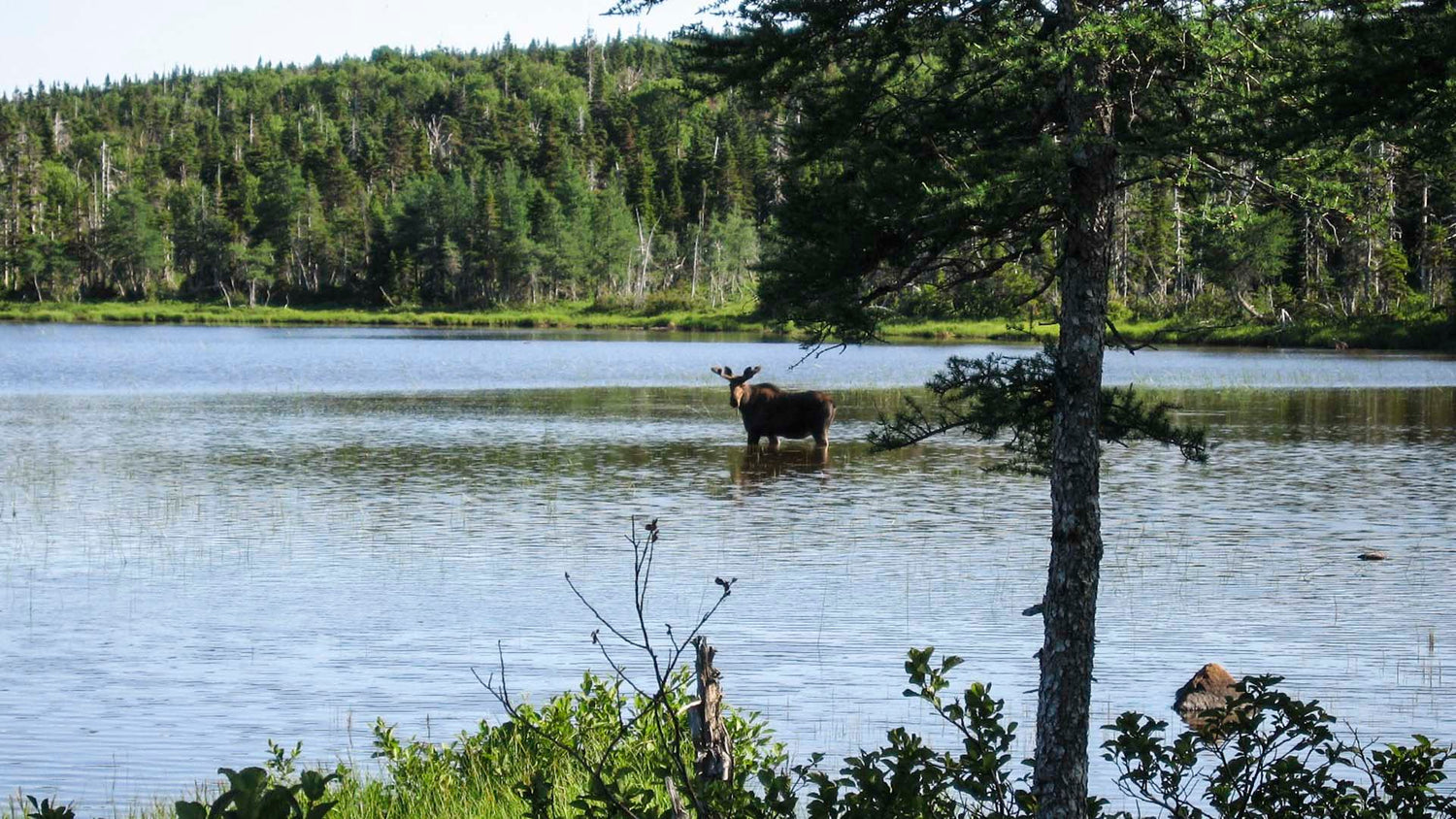
Benjie's Lake Trail
Distance (both ways): 3km
Difficulty: Easy
Elevation: 400m
Hiking Time: 1.5 hour both ways
Cellphone Coverage: Yes
Coordinates:
Trail:Lat: 46.747348 Long: -60.821458